Adopting a collaborative and integrated approach to urban water management can realise multiple benefits for people and the environment including reduced flood risk, improved water quality and enhanced community health and well-being through recreation and engagement with green-blue spaces. The Catchment Based Approach (CaBA) partnerships provide the framework to draw together a wide range of organisations, including Local Authorities and Water Companies, to help them understand each other’s strengths and objectives, to breakdown silo thinking and to identify solutions. This collaborative approach also means that multiple funding sources can be accessed, expertise pooled and solutions co-designed. In late-May, with support from AA Floods via the Rivers Trust, the CaBA Urban Water Group launched new guidance on sustainable water management through a webinar with 128 participants drawn from Local Authorities, Environmental NGOs, Water Companies, Government and Agencies, large landowners including the National Trust, CaBA partnerships and Local Community Flood Action groups.

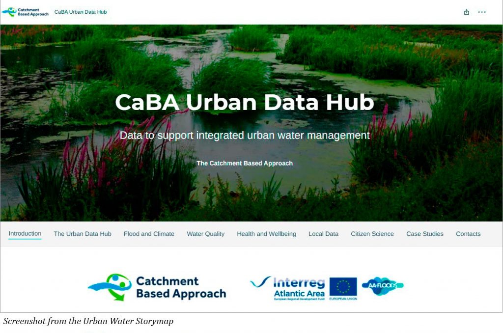
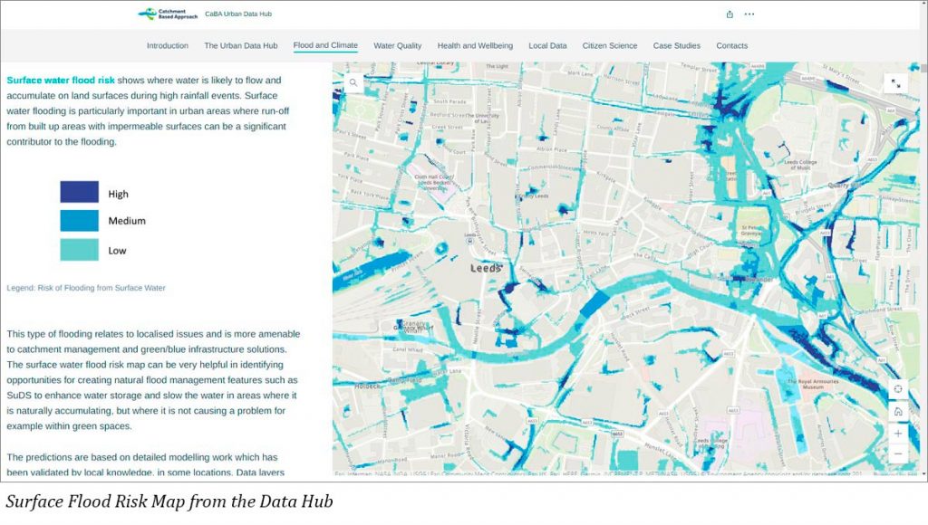
Alongside the guidance, an urban data hub was also launched by The Rivers Trust, together with an associated Story Map. Collectively these provide and describe several national GIS data layers directly relevant to urban water management including fluvial and surface flood risk. The surface flood risk maps in particular help to identify where local ‘nature-based’ solutions can be located to intercept runoff and prevent the excessive build up of water on impervious surfaces and within the sewer system.
The data hub also provides spatial information on neighbourhood social vulnerability to flooding based on susceptibility, ability to prepare and respond, ability to recover and community support. The data also estimates how far individuals experience a loss in well-being if exposed to flooding. All this data is freely downloadable and can be interrogated at multiple spatial scales. Its availability will help to drive a more collaborative approach to urban water management including flooding, with a common understanding of problems and solutions. It will also help to empower environmental NGOs and community flood groups helping them to have a greater voice in flood risk management.