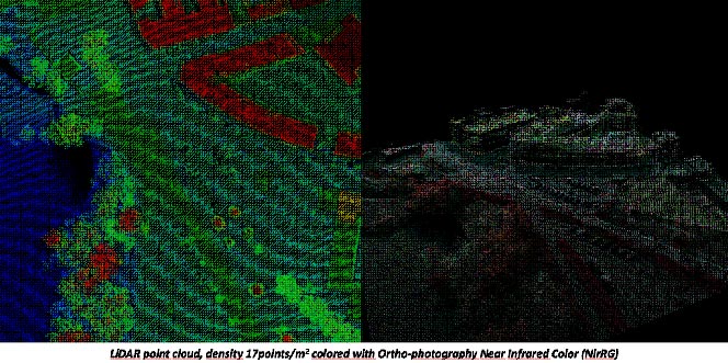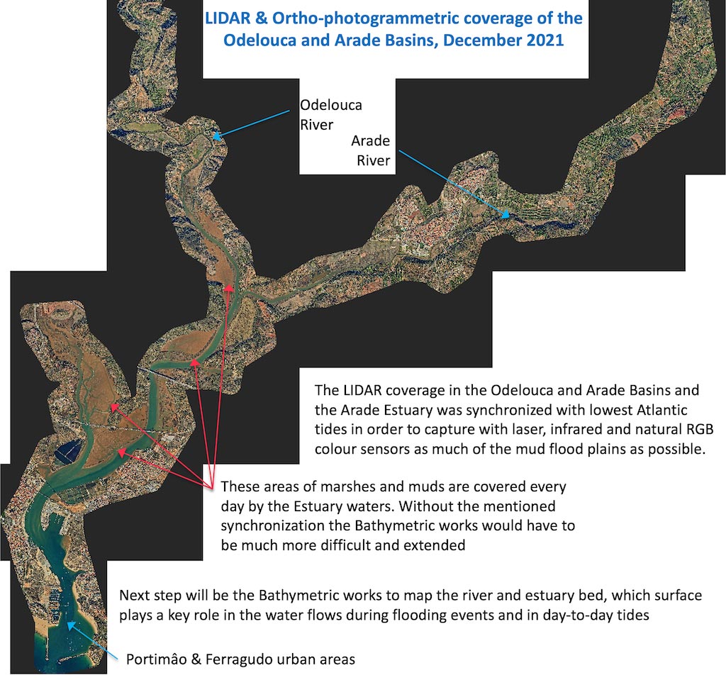
The high-precision 3D mapping works of Work Package 6 are underway and the capture and processing of the maps obtained with airborne LIDAR technology has already been completed. These works have covered the basins of the Odelouca and Arade rivers from their reservoirs closest to the Algarve Coast, as well as the Arade estuary and its outlet to the sea in Portimâo.
Works done
This work has been an example of Transnational Cooperation made possible by the INTERREG Atlantic Area Program. The definition of the technology to be used and its potential uses corresponds to the AA-FLOODS Project, while the detailed specification of the technologies and work methodologies that have been contracted are due to the cooperation between the Andalusian Environment and Water Agency (which has carried out equivalent work in the Genil River), Águas do Algarve, University of Coruña and the territorial consulting company Bóreas, all of them partners of AA-FLOODS.